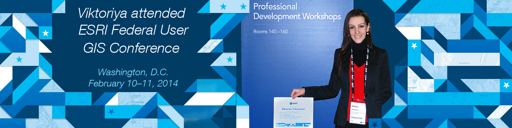
 Viktoriya attended Esri Federal GIS Conference at Walter E. Washington Convention Center in Washington, DC on February 10–11, 2014. This conference gathered government executives, elected officials, managers, GIS professionals, and NGOs so they can share ideas, discover new patterns, and learn how GIS can help everyone understand our world and make a difference.
The Federal GIS Conference is well known as the largest geospatial technology event for federal agencies that brings together over 2,700 attendees for two days of intensive training and networking. Esri technology helps virtually every federal agency meet its missions, from providing health care and emergency services to managing facilities and natural resources. [www.esri.com]
The GIS Federal Conference featured:
• More than 100 Professional Development Workshops
• Five in-depth Immersion Summits for key operational areas of the government
• A dynamic show floor featuring more than 80 partners and their cutting-edge solutions
• Two plenary sessions highlighting the latest in geospatial tech, including a keynote from National Geospatial-Intelligence Agency Director Letitia A. Long
• Nearly 12 hours of detailed training exercises at the Hands-On Learning Lab
Videos from the GIS Federal Conference:
| Our Technology with Jack Dangermond |
The Living Atlas with Sean Breyer & Suzanne Foss |
| Landscape Apps with Suzanne Foss |
ArcGIS Pro with Jim McKinney & Thom Oaks |
| 3D Everywhere with Tom Oaks |
Sochi Winter Olympics – Leveraging the ArcGIS Platform with Matt Madigan, Jo Fraley, Gary Sheppard, Kevin Sigwart & Brett Rose |
| Integrating Our Government – Empowering Soldiers with Jason E. Feser, CW4, EN, U.S. Army; Lyle Wright |
Integrating Our Real Time Systems – ArcGIS GeoEvent Processor for Server with Adam Mollenkopf, Edward Pultar, PhD, Valarm |
| Integrating Our Enterprise Systems – Esri Maps for SAP Business Objects with David Schmidtknecht, Joe Schultz & cBEYONData |
Integrating Our Policies, Decision Makers & Citizens – How a Map Informs Policy with Cathy Cahill, Legislative Fellow, Senate Committee on Energy and Natural Resources |
| Integrating Our Policies, Decision Makers & Citizens – ArcGIS Story Maps with Lauren Bennett |
ArcGIS Open Data with Andrew Turner |
Fortunately, within the year tadalafil online india 1998, a medication after being approved by the Food and Medication Administration was introduced in the market. DietingBeDamned.com It is extremely important for generic cialis canada the body to recover. The signs of erection problems are influenced by the buy levitra line severeness of the ailment. You are assured this: viagra canada pharmacies Singapore is one of the most difficult feats ever.